Change of Editor-in-Chief
2026-02-25

| Accreditation: This journal has been officially accredited with SINTA 4 status by the Ministry of Research, Technology and Higher Education of Indonesia. |
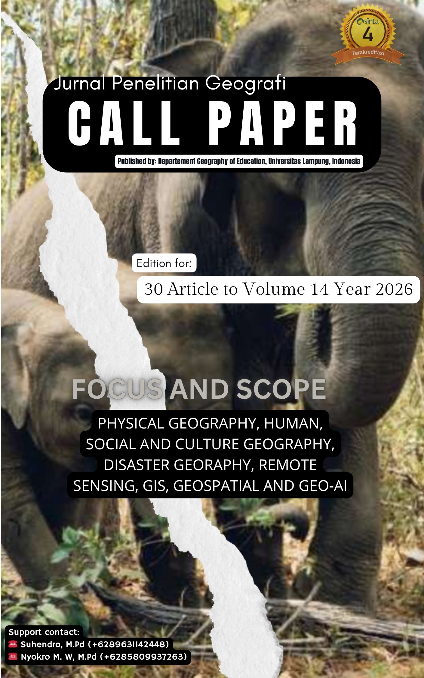 Jurnal Penelitian Geografi (JPG) is a peer-reviewed journal published by the Department of Geography Education, Faculty of Teacher Training and Education, Universitas Lampung, Indonesia. This journal publishes scientific articles on the theme of geography, covering topics such as Physical Geography, Human Geography, Social and Cultural Geography, Disaster Geography, Remote Sensing, GIS, Geospatial Analysis, and Geo-AI. We publish twice a year in March and September. The editors accept manuscripts that have never been published in other media. Submitted manuscripts will be evaluated by expert editors and/or reviewers. The editors may make changes to published articles for uniformity of format without changing the intent and content. Author guidelines can be found on this website, and paper templates can be downloaded from the submission page. We are actively working to improve the quality of our journal by seeking DOAJ accreditation. This journal has previously been officially accredited with SINTA 4 status by the Ministry of Research, Technology and Higher Education of the Republic of Indonesia. We warmly invite researchers, academics, and practitioners in the field of geography and related disciplines to submit their manuscripts for consideration.
Regards,
Jurnal Penelitian Geografi (JPG)
Journal Identity
![]()
![]()
Indexed & Abstracted By
![]()
![]()
![]()
![]()
![]()
![]()
![]()
![]()
![]()
![]()
Geographical Distribution of Authors
Jurnal Penelitian Geografi (JPG) - Current and Recent Issues
5 Countries | 3 Continents |
Vol. 14 No. 1 (2026) of Jurnal Penelitian Geografi (JPG) presents research articles resulting from cross-institutional and cross-national collaboration, involving authors from 12 institutions across 3 countries in Asia and Africa. The affiliated institutions are as follows:
 Indonesia (10 institutions, 38 authors): Universitas Negeri Makassar, Universitas Pendidikan Indonesia, Universitas Muhammadiyah Surakarta, Universitas Negeri Semarang, Universitas Lampung, Universitas PGRI Sumatera Barat, Universitas Prof. Dr. Hazairin SH Bengkulu, Universitas Gadjah Mada, Universitas Negeri Medan
 Malaysia (2 institutions, 2 authors): Universiti Pendidikan Sultan Idris (UPSI) Perak, University of Malaya Kuala Lumpur
 Rwanda (1 institution, 1 author): University of Rwanda
3 Countries | 13 Institutions | 41 Authors | 2 Continents
 Abstract views: 161 times
|
Abstract views: 161 times
|
 downloads: 231 times
Abstract views: 190 times
|
downloads: 212 times
Abstract views: 160 times
|
downloads: 167 times
Abstract views: 88 times
|
downloads: 86 times
Abstract views: 132 times
|
downloads: 208 times
Abstract views: 96 times
|
downloads: 94 times
Abstract views: 125 times
|
downloads: 84 times
Abstract views: 121 times
|
downloads: 510 times
Abstract views: 139 times
|
downloads: 93 times
Abstract views: 109 times
|
downloads: 88 times
Abstract views: 144 times
|
downloads: 124 times
Abstract views: 101 times
|
downloads: 88 times
Abstract views: 123 times
|
downloads: 86 times
Abstract views: 69 times
|
downloads: 55 times
downloads: 231 times
Abstract views: 190 times
|
downloads: 212 times
Abstract views: 160 times
|
downloads: 167 times
Abstract views: 88 times
|
downloads: 86 times
Abstract views: 132 times
|
downloads: 208 times
Abstract views: 96 times
|
downloads: 94 times
Abstract views: 125 times
|
downloads: 84 times
Abstract views: 121 times
|
downloads: 510 times
Abstract views: 139 times
|
downloads: 93 times
Abstract views: 109 times
|
downloads: 88 times
Abstract views: 144 times
|
downloads: 124 times
Abstract views: 101 times
|
downloads: 88 times
Abstract views: 123 times
|
downloads: 86 times
Abstract views: 69 times
|
downloads: 55 times
ACCREDITATION

Submit Article
P-ISSN

E-ISSN

ARTICLE TEMPLATE

INFORMATION
STATCOUNTER STATISTICS
Collaborated with FORPIMGEO

RECOMENDATION
P-ISSN: 2656-6532 | E-ISSN: 2723-2603
Jurnal Penelitian Geografi is published by the Geography Education Study Program, Faculty of Teacher Training and Education, Universitas Lampung, under a Creative Commons Attribution 4.0 International License (CC BY 4.0). All original content is preserved in the PKP Preservation Network (PKP-PN) to ensure long-term accessibility of the journal archives.
Production, hosting, and publication are managed by the Scientific Publication Unit of FKIP Universitas Lampung on behalf of the Faculty of Teacher Training and Education, Universitas Lampung. The peer review process and the Editorial Board are under the responsibility of the Geography Education Study Program, FKIP Universitas Lampung.